Chesapeake Bay & Annapolis
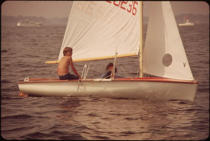
| Scale | the largest estuary in the United States, roughly 200 miles from Havre de Grace, Maryland to Norfolk, Virginia, 4 to 30 miles wide, with 11,684 miles of shoreline, more than the entire US West Coast |
|---|---|
| Depth | average about 21 ft including tributaries; the deepest point, The Hole near Bloody Point southeast of Annapolis, reaches 174 ft; tidal range is small, typically only 1 to 3 ft, so tide does not reliably bail out a grounding |
| Watershed | over 150 rivers and more than 100,000 smaller tributary streams across a 64,000 square mile, six-state watershed; the Susquehanna alone supplies about half the Bay's total freshwater inflow |
| Season | prime cruising windows run late April to early June and early September to late October, with September rated the single best month; hurricane season runs June through November |
| Getting there | nearest major airport is Baltimore-Washington International (BWI), about 17 miles from Annapolis; a foreign-flagged yacht clears in at the CBP port of Norfolk-Newport News, not at Annapolis itself |
| The ICW | the Atlantic Intracoastal Waterway officially begins at Mile Marker Zero in Norfolk, running 1,090 statute miles to Florida; a boater can run roughly 1,282 statute miles from Baltimore to Miami combining the Bay and the ICW |
| Annapolis City Dock, Ego Alley | public first-come-first-served town dock, USD 3.00 a foot a night, rising to USD 4.00 a foot on summer weekends and holidays |
| United States Sailboat Show | founded 1970 as the first in-water sailboat show in the country, now 500-plus exhibitors, billed as the largest in-water sailboat show in the world; the United States Powerboat Show followed a few years later and both run each October |
| Crab pot floats | tens of thousands of derelict pots litter the Bay's shallows, called floating mines by watermen and the local press, a genuine and permanent prop-fouling hazard rather than an occasional nuisance |
| The 2025 Dead Zone Report Card found the Bay's summer hypoxic volume near its long-term average, with 60 days of sustained low-oxygen water against a historical average of 78 to 116 days, describing an active, funded, measurably improving restoration effort rather than pure decline | |
A Six-State Watershed, and a Bay That Rewards a Shallow Draft
Two hundred miles of water running from Havre de Grace, Maryland to Norfolk, Virginia, four to thirty miles wide depending on where you measure, with more shoreline along its rivers and creeks than the entire US West Coast: the Chesapeake is the largest estuary in the country by a wide margin, and its watershed reaches into six states and the District of Columbia through more than 150 named rivers and over 100,000 smaller tributary streams. The Susquehanna alone, entering at the Bay's northern head, supplies roughly half of all the Bay's freshwater, though it is itself not navigable above the Conowingo Dam, so the cruisable water is the Bay and its lower tidal rivers, not the Susquehanna itself.
None of that scale translates into deep water everywhere. Average depth across the Bay and its tributaries is about 21 ft, and the deepest point anywhere, The Hole near Bloody Point southeast of Annapolis, reaches 174 ft, but many of the prettiest gunkholing creeks off the main rivers shoal gradually to under 3 ft a few miles up, with controlling depths at some marked entrances as shallow as 4 ft. The Bay's own tidal range is small, typically only 1 to 3 ft, which means a boater cannot count on the tide to add much clearance the way a bigger-range coast would. Cruising guides consistently warn that charted depths lag real silting, especially after storms, and recommend a real safety margin rather than trusting the chart alone. The prime cruising windows, late April to early June and early September to late October, sit either side of the hottest, stickiest and most thunderstorm-prone months, and September in particular is rated by more than one source as the single best month on the calendar for steady wind and comfortable temperatures.
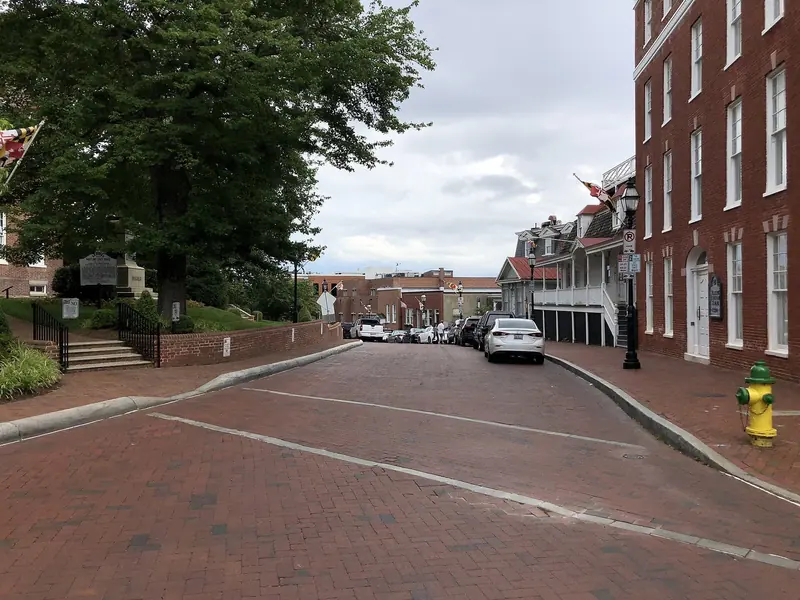
Annapolis Did Not Earn Its Name by Accident
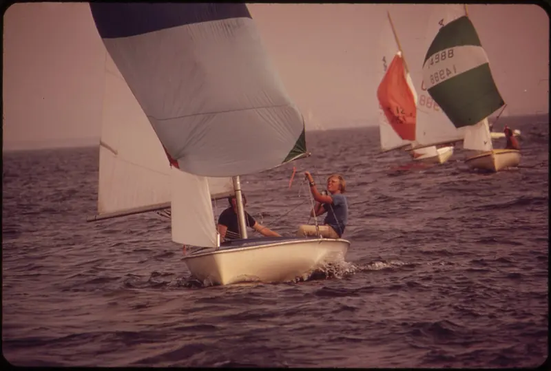
Annapolis Yacht Club traces back to 1886, when a group of canoe enthusiasts met at an old oyster shed on Spa Creek as the Severn Boat Club; it grew from about 30 members in 1904 to roughly 1,600 today, weathering a 1933 hurricane and a Christmas 2015 clubhouse fire along the way. Its Wednesday Night Racing series, imported from Rhode Island's East Greenwich Yacht Club by a past commodore in 1959, started as an informal picnic-supper affair with no scoring at all; today it draws 125 to 150 boats onto Spa Creek every week in season, with full scoring and season trophies.
The bigger annual draw is the boat shows. In 1970, Jerry Wood and three partners towed floating plastic docks, originally built for the Annapolis Sailing School, to City Dock and staged the first in-water sailboat show in the country, breaking with the industry's convention-hall tradition entirely. The United States Sailboat Show has grown to over 500 exhibitors and is billed by the trade press as the largest in-water sailboat show anywhere in the world; the United States Powerboat Show, spun off a few years later, marked its 52nd edition in 2024, implying a founding around 1972, and now runs as a distinct event back to back with the sailboat show each October, both staged directly around Ego Alley and City Dock in the heart of downtown.
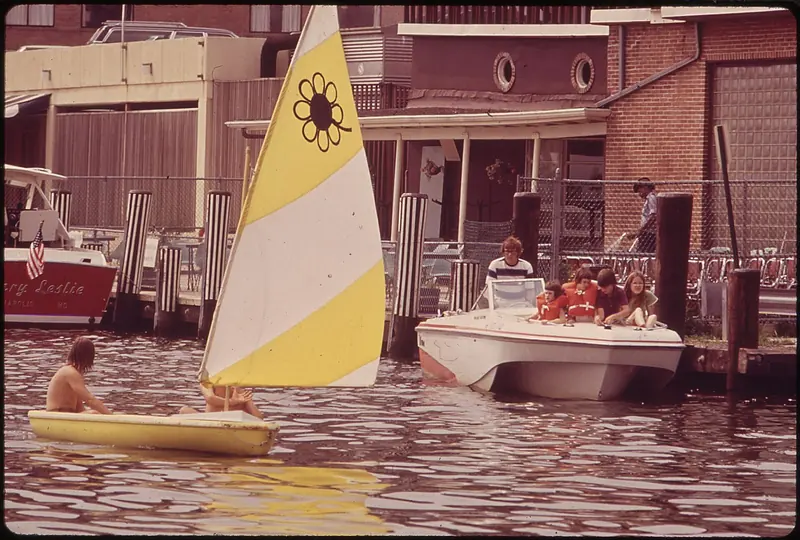
Watermen and the local press both call the Bay's tens of thousands of lost crab pot floats floating mines. Cruising guides explicitly advise against running the shallower channels after dark in season because of them.
Floating Mines: the Hazard No Brochure Mentions
Ask anyone who actually works the Bay's shallows what worries them more than weather, and the answer is often crab pots. Lost each year to storms and propeller-cut lines by the tens of thousands, derelict pot floats are described by watermen and outlets including the Baltimore Sun as floating mines, and a scientific study of derelict-gear impacts corroborates the scale of the problem independently of that framing. Dark or waterlogged floats are hard to spot by day and effectively invisible after dark, and cruising guides, including Waterway Guide's own dedicated section on avoiding crab pots and trap markers, explicitly counsel against running the Bay's shallower approach channels after nightfall during crabbing season for exactly this reason.
This sits alongside two other practicalities that are easy to underweight from a distance: brackish water fouls a hull at a real rate despite lower salinity than open ocean, driven by warm, nutrient-rich summer water, with maintenance guides recommending bottom cleaning as often as every four weeks in peak July and August growth and aluminum rather than zinc anodes given the water's lower salinity; and near-daily afternoon thunderstorms are a routine feature of Mid-Atlantic summer, occurring roughly every five days in August, which rewards active weather-watching over a fixed passage plan through the hottest months.
A Seasonal Bay, With a Real Ecological Turnaround Under Way
This is not a year-round cruising ground, and the region's marina infrastructure is built around that fact rather than around it as an inconvenience. Bert Jabin's Yacht Yard on Annapolis's Back Creek, family-run since 1959, exists specifically to splash boats each spring and put them to bed each winter with 35, 50 and 75 ton travel lifts; a single concrete data point from a nearby Shady Side yard puts a full haul, wash, block, store and relaunch cycle for a 35 ft boat at just over USD 1,000, though yard rates are reported to vary 30 to 50 percent regionally, so that figure should be read as indicative rather than standard.
The Bay's environmental health is a genuine, actively managed story rather than a fixed black mark. The 2025 Chesapeake Bay Program Dead Zone Report Card found the summer's low-oxygen hypoxic volume near the long-term average, and its duration, 60 days of sustained hypoxia, actually better than the 78-to-116-day historical range, against a backdrop of federal and state leaders renewing a 15-year restoration commitment in 2025 covering wastewater upgrades, oyster restoration and aquatic grass replanting. A sophisticated buyer increasingly asks about a cruising ground's ecological trajectory, and the Bay's, credibly, is one of funded, measured improvement rather than pure decline.
Where People Actually Go, and What They Find There
St. Michaels, a 17th-century tobacco port turned 19th-century oyster town, is now anchored by the Chesapeake Bay Maritime Museum's 18-acre waterfront campus of historic working-boat restoration, with Higgins Yacht Yard running the town's original working harbour and St. Michaels Marina offering in-slip fuelling and two on-site restaurants. Oxford, across the way, was named Maryland's first official Eastern Shore port of entry in 1683 and remains one of the oldest towns on the Bay. Solomons Island, at the mouth of the Patuxent River, clusters a half-dozen first-class marinas and yards, Solomons Yachting Center, Calvert Marina and Zahniser's Yachting Center among them, around a dense strip of seafood restaurants and charter-fishing operators on Back Creek.
Baltimore's Inner Harbor Marina, 135 slips from 15 to 250 ft on floating concrete docks with 14 ft dockside depth and a full-service fuel dock, is the one genuinely urban stop on the northern Bay, steps from the National Aquarium and Camden Yards. SAIL Magazine's own cruising feature on the Bay calls Annapolis the Bay's modern-day sailing Mecca for gear and repairs, and separately profiles quiet gunkholing anchorages like Dividing Creek off the Wye River, which the same feature notes gets crowded on weekends despite its quiet reputation, alongside the July Waterman's Day festival at Rock Hall on the Eastern Shore. Chesapeake Bay Magazine's own cruising guide, in print for nearly fifty years and describing itself as the cruisers' bible for the Bay, documents suggested three-to-five day mini-cruise itineraries for virtually every river and creek, evidence of just how much a single cruising ground this size can absorb in one season.
A terra, accessi e prenotazioni
| Getting there | Baltimore-Washington International (BWI) is about 17 miles from Annapolis; Washington Dulles and Reagan National also serve the region. A foreign-flagged yacht clears in at the CBP port of Norfolk-Newport News, not at Annapolis. |
|---|---|
| Transient dockage, Annapolis | City Dock, Ego Alley: USD 3.00 a foot a night (minimum USD 40), rising to USD 4.00 on summer weekends and holidays; private marinas on the same stretch run about USD 4.00 a foot with a 30 ft minimum. |
| Haul-out and lay-up | This is a seasonal cruising ground with a standard spring haul, winter storage, and relaunch cycle. Haul-out typically runs USD 8 to 20 a foot; one Shady Side yard quoted just over USD 1,000 to haul, block, store and relaunch a 35 ft boat. |
| Events | United States Sailboat Show and United States Powerboat Show, back to back each October in downtown Annapolis; Annapolis Yacht Club's Wednesday Night Racing draws 125 to 150 boats weekly in season. |
| What to watch for | Derelict crab pot floats are a genuine, permanent prop-fouling hazard in the shallows; cruising guides advise against running shallow channels after dark in crabbing season. Afternoon thunderstorms are near-routine in July and August. |
| What is not published | No single, current, Bay-wide grocery or general provisioning cost figure for boaters was found; specific slip counts and amenities at some South County marinas are not independently confirmed and should be checked directly. |
Cosa riferiscono armatori ed equipaggi
SSCA members describe the Bay's cruiser community as a genuine asset
A long-term liveaboard cruiser posting on a boating forum described Seven Seas Cruising Association members active on the Chesapeake as a joy to know, with bulletins carrying information hard to find elsewhere.
SailNet Community forumAnnapolis is the Bay's real centre of gravity for gear and repairs
A dedicated cruising feature on the Bay calls Annapolis the modern-day sailing Mecca for gear, parts, sails and repairs, and recommends specific quiet anchorages like Dividing Creek off the Wye River.
SAIL MagazineThe cruising guide describing itself as the Bay's bible has stood for almost fifty years
The publication's own annual cruising guide, carrying NOAA chart segments and suggested itineraries for virtually every river and creek, has been in continuous print for nearly 50 years.
Chesapeake Bay MagazineCrab pots are treated as a serious hazard by the people who set them
Reporting on the scale of lost crab gear in the Bay quotes watermen and local coverage describing derelict floats as floating mines, a genuine navigational risk rather than a nuisance.
Baltimore SunThe Bay's restoration effort is treated as real and ongoing by its own scientific monitors
The 2025 Dead Zone Report Card, produced jointly by state and academic monitors, found the year's hypoxic conditions near or better than the long-term average.
Virginia Institute of Marine Science
Cosa convince e cosa va valutato
Punti di forza
- Enough cruising ground to fill a season without leaving itOver 150 rivers and 11,684 miles of shoreline give a boater a genuinely enormous, self-contained cruising ground, with published three-to-five day mini-cruise itineraries for virtually every river and creek.
- A real, working sailing culture, not a marketing labelAnnapolis Yacht Club's Wednesday Night Racing has run continuously since 1959 and still draws 125 to 150 boats a week, and the city's October boat shows remain the largest in-water sailboat show in the world.
- Deep marine-service infrastructureBert Jabin's Yacht Yard and a wider Annapolis service industry, plus Fawcett Boat Supplies, a chandlery operating for roughly 70 years, give an owner real depth of support rarely matched on a smaller cruising ground.
- A genuine mix of experiences within a short sail of each otherSt. Michaels' maritime museum, Oxford's colonial history, Solomons Island's boatyards and Baltimore's urban Inner Harbor marina all sit within a day or two's sail of one another.
- An environmental trajectory that is measurably improving, not just decliningThe 2025 Dead Zone Report Card found hypoxia duration better than the long-term average, backed by a renewed 15-year, multi-state restoration commitment.
Da valutare
- A permanent, well-documented prop hazardTens of thousands of derelict crab pot floats litter the shallows, called floating mines by watermen and the local press, and cruising guides advise against running shallow channels after dark in season because of them.
- This is a seasonal cruising ground, not a year-round oneA standard spring-launch, autumn-haul cycle applies, with winter storage a fixed annual cost, and hurricane season runs June through November.
- Shoaling and a small tidal range punish a deep draftMany tributary creeks shoal to under 3 ft a few miles up, and the Bay's 1 to 3 ft tidal range does not reliably add clearance the way a bigger-range coast would.
- Brackish-water fouling demands real maintenance disciplineWarm, nutrient-rich summer water drives vigorous fouling despite lower salinity, with bottom cleaning recommended as often as every four weeks in peak season and anodes chosen accordingly.
- Near-daily summer thunderstorms demand active weather-watchingAfternoon pop-up storms occur roughly every five days in August, which rewards a flexible passage plan over a fixed schedule through the hottest months.
A chi si rivolge: An owner who wants a genuinely huge, protected, historically rich cruising ground within a morning's drive of Washington and Baltimore, gunkholing hundreds of creeks in a single season without ever leaving the Bay, and who accepts a hard seasonal cutoff, brackish-water fouling and a real navigational hazard from crab gear as the cost of it, rather than an owner looking for a year-round, open-ocean cruising ground.